New mapping tool feature made to measure
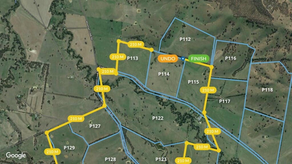
Calculate distances on your property with speed and ease
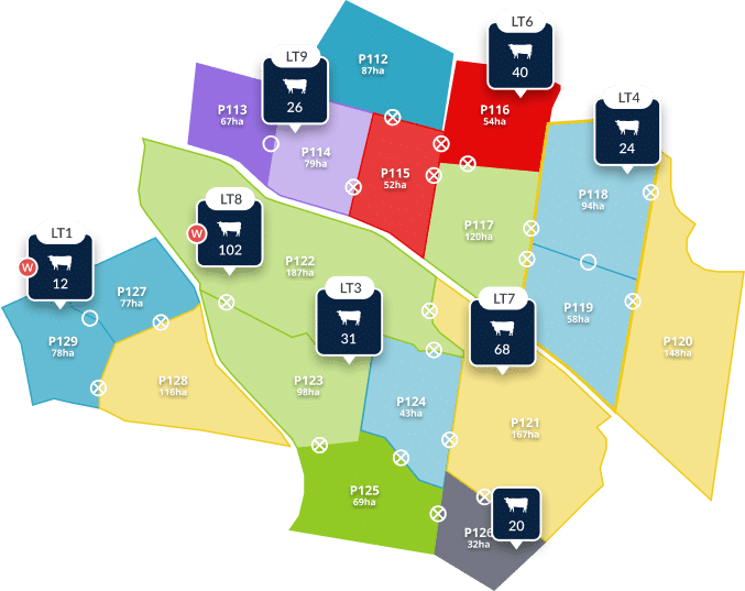
We’re proud to announce our latest release for the AgriWebb farm map, an online tool that makes measuring distances on your property as simple as clicking your mouse.
You’ll find the feature on the AgriWebb Web App, on your farm map, under the “Tools” button. It’s straightforward to use, but you can find a guide here.
Developed with your input when you needed it most
We developed this handy feature after hearing from an AgriWebb customer on Kangaroo Island, who lost every fence line in the bushfires that are causing destruction across the country.
As we worked with our customer to help with filing his insurance claim, we decided to create a simple tool for any AgriWebb users who find themselves in a similar situation.
Of course, a simple tool isn’t simple to make. Our developers put in a huge amount of personal hours, designing a tool that’s easy to operate and works seamlessly with the AgriWebb farm map.
Applications
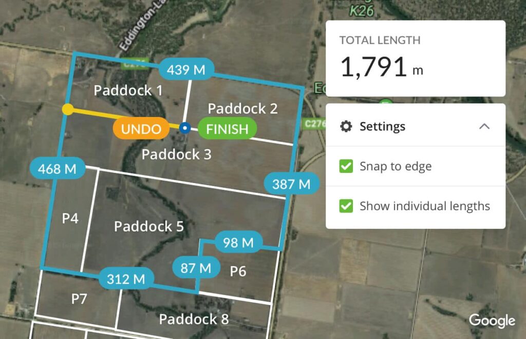
We wanted to make it simple to collect information needed to lodge insurance claims in the wake of disasters such as the recent bushfires. However, we also built this tool to be flexible for the range of needs farmers might have. With the new fence line measurement tool, you can:
-
- Measure the length of a fence or a portion of a fence line.
-
- Measure the total length of a farm boundary.
-
- Measure the distance between two or more locations on your farm.
-
- Measure distances for planning livestock movements.
Features
Cumulative total length
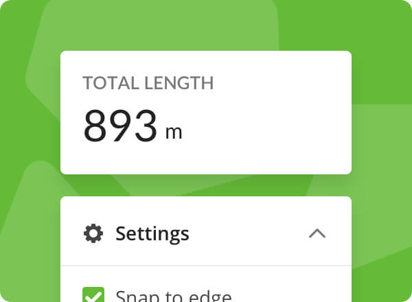
Whether you’re measuring the perimeter of a paddock or the whole farm boundary, you are shown the total distance measured along with the length of each fence line.
Point and click process
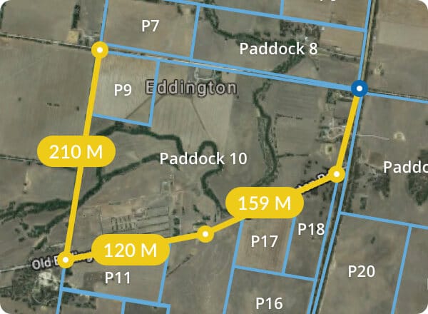
Click to start a measurement, then move the crosshair to another location and click to measure the distance. You can click as many points as necessary, and handy shortcut keys make this process even easier.
Keep a record
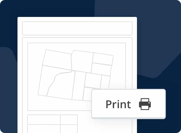
Print your measurements along with the farm map or export to a GeoJSON file.
Free AgriWebb mapping access for bushfire-affected farmers
We realise it’s vital that farmers who suffered losses in the bushfires file insurance claims as quickly as possible, and know how helpful this feature will be for them. As part of the AgriWebb Community Helping Hand Project, we’re offering free AgriWebb mapping access to fire-affected farmers.
Try the Measurement Tool, along with other AgriWebb features, when you sign up for free trial.
