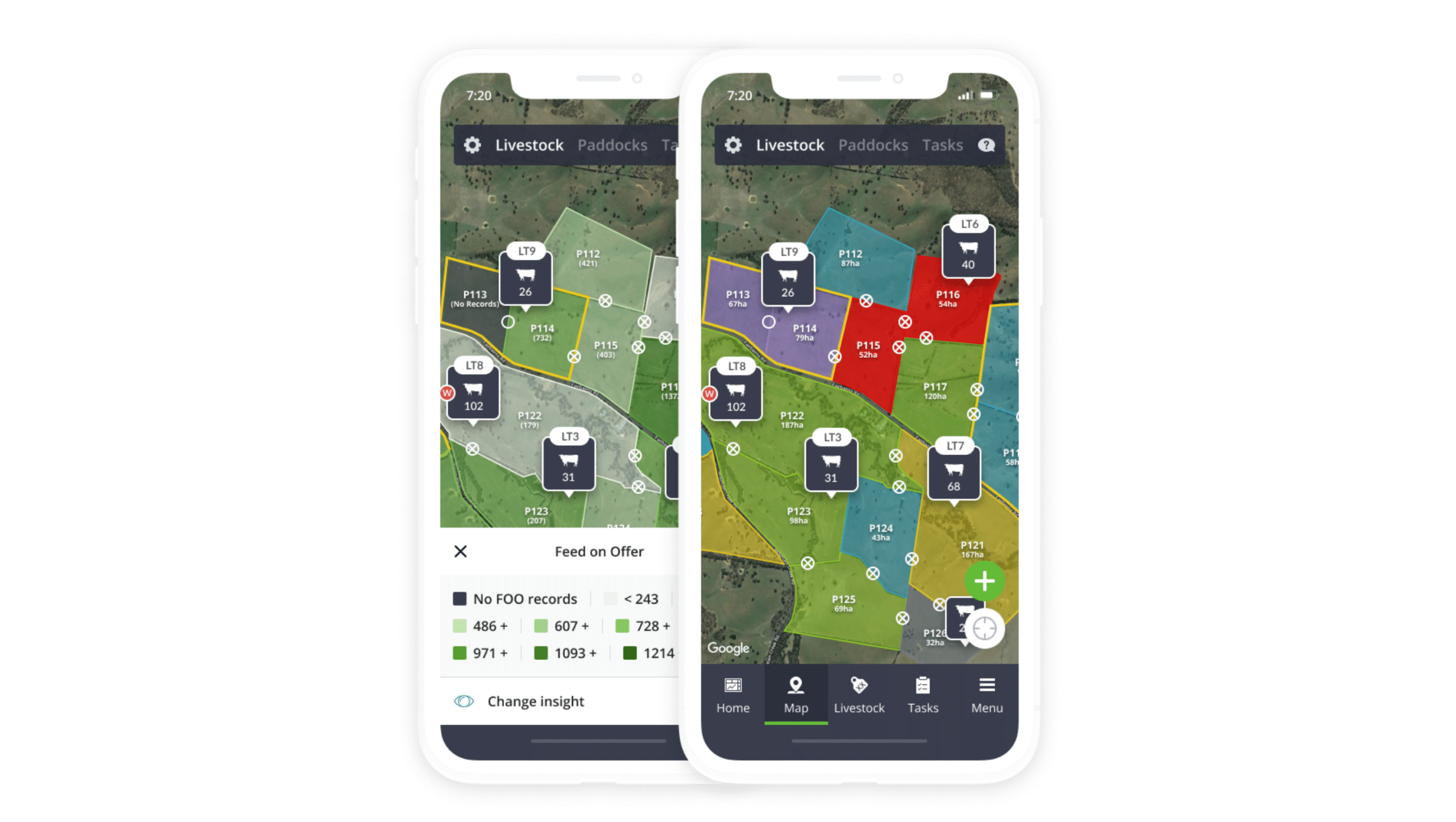
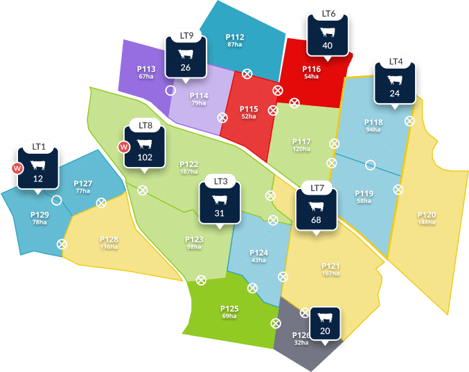
It all starts with your farm map.
Build a customised farm map in minutes. From mob movements and grazing days remaining to infrastructure and important tasks, see everything that matters from the palm of your hand.

Drag & drop your mobs
Mob movements, made really easy. Move sheep and cattle on your farm map by simply dragging mobs to their new paddock. New moves automatically re-calculate your stocking rate, animal load and grazing days remaining.
Everything you need to know, all in one place

Instant paddock insights
Click on any map paddock to drill into key insights like grazing days remaining, current mob locations, and a full history of records related to that paddock.

Infrastructure at-a-glance
Visualise and update key landmarks and important infrastructure on your farm straight from your GPS-enabled map. Track and locate hazards, fences, gates, water tanks and more.

Real-time task management
Manage daily priorities with the task view. See exactly where an outstanding task is located, who’s assigned to it, and how important it is to get done.

DIY Farm mapping in minutes
Start mapping your farm from your phone or desktop computer, and quickly create a bird’s eye view of your operation. If you have an existing map from another software system, we can even upload it for you when you get started!
Explore our farm map insights
Explore all records
“We can quickly view feed on offer in all paddocks to determine which cattle to sell, if we have room for more, which paddocks to move stock to and which paddocks to stay out of.”

Doug McNicholl
Roma, QLD


